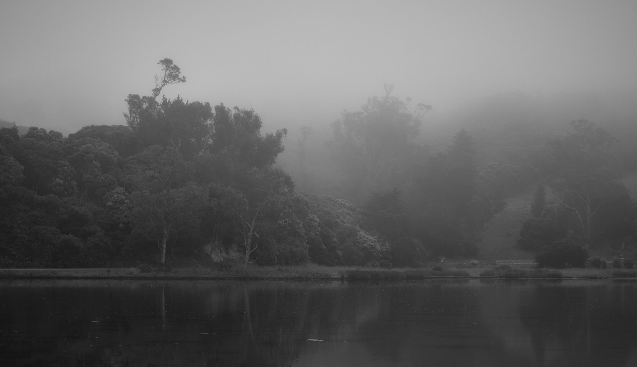
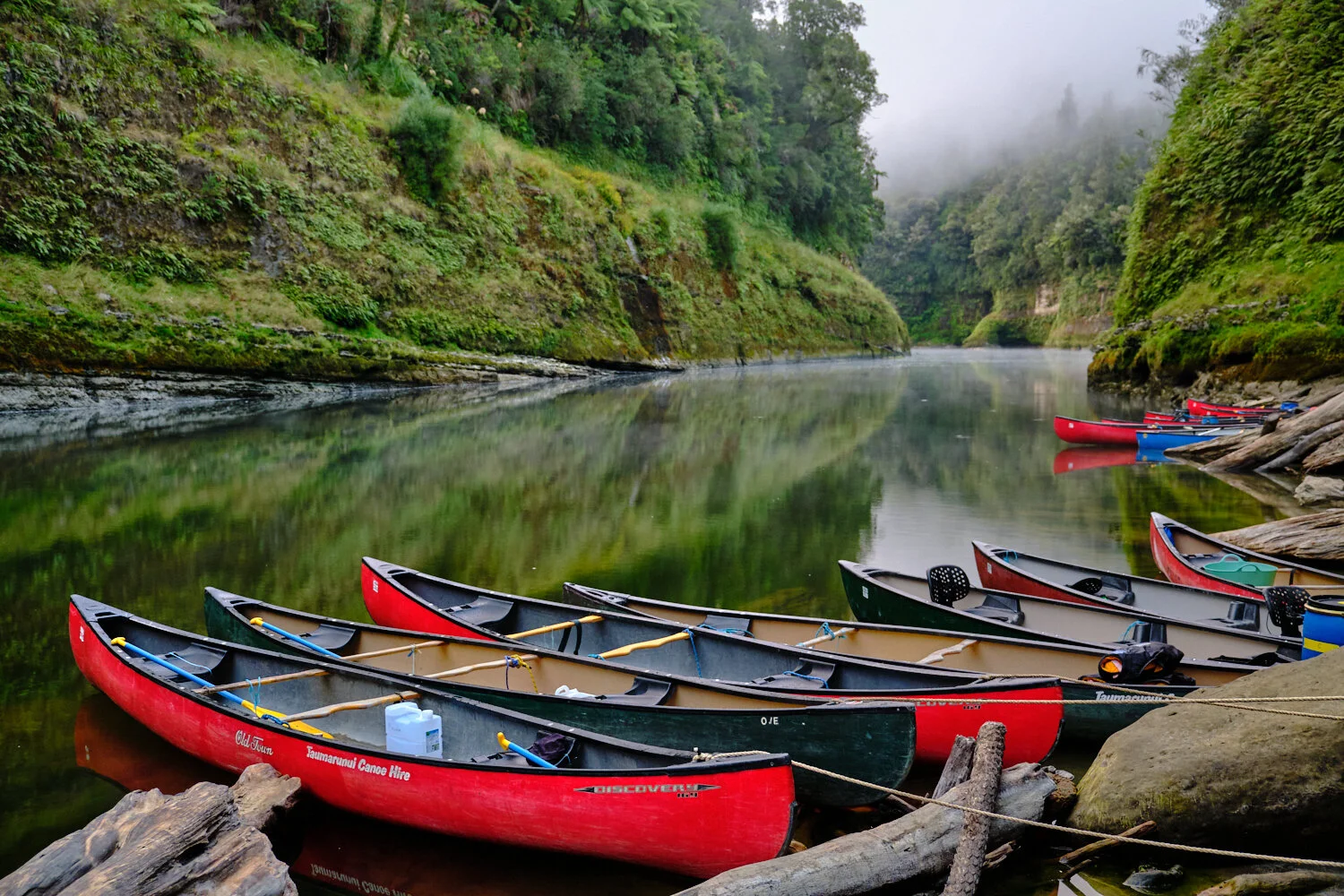
I have been selling print and canvas products to people for a good number of years, mostly landscape photography images of Dunedin. When I saw the Samsung Frame TV I nearly fell over. I was totally blown away, a TV that looks just like a picture frame hanging on your wall. My head spins at its genius and potential. I love the matte screen, how there is an app for users to be able to download and display some of the worlds great art on the screen, but I love even more the opportunity to showcase my own work. So I have started saving images in the required 16:9 aspect ratio and file size specifications and from there the plan is to use them on my yet to be purchased frame TV and the ones I love will become a downloadable purchase option on my website shop. I’ll start a gallery below of images I’m taking for the project.
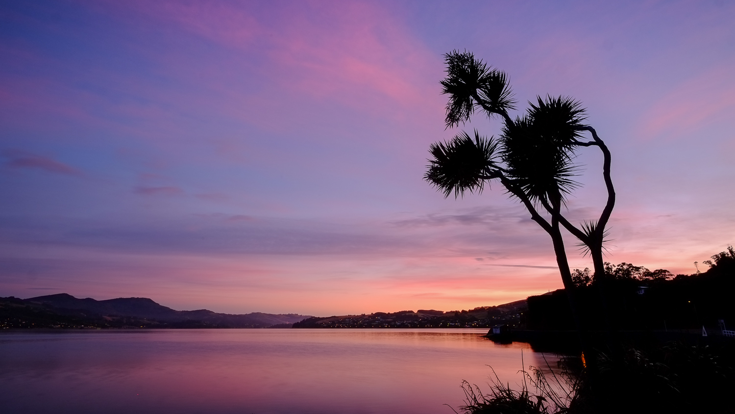
One aspect I am excited about is taking more sunrise/sunset images for digital display. Often I find paper prints of sunrise and sunset images can look dark and murky if there is a significant amount of shadows and blacks in the scene, or even look too colourful. But, with a digital display you can generally get a much better result. As I take more images for the Samsung Frame TV display, I will pop them up here in this blog.
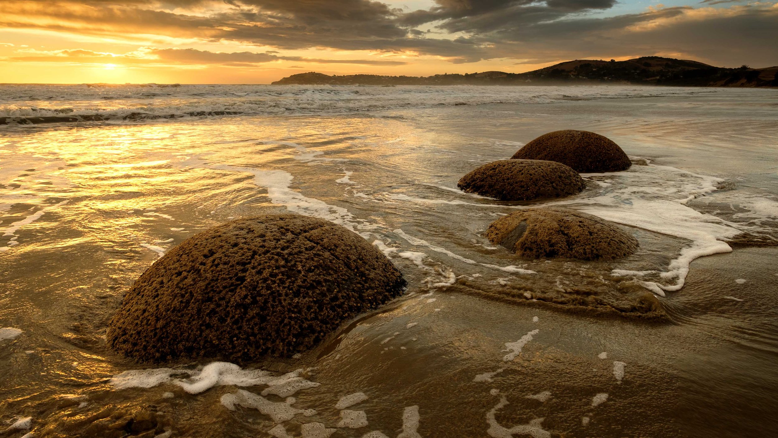
Moeraki Boulders, Moeraki, North Otago, New Zealand.
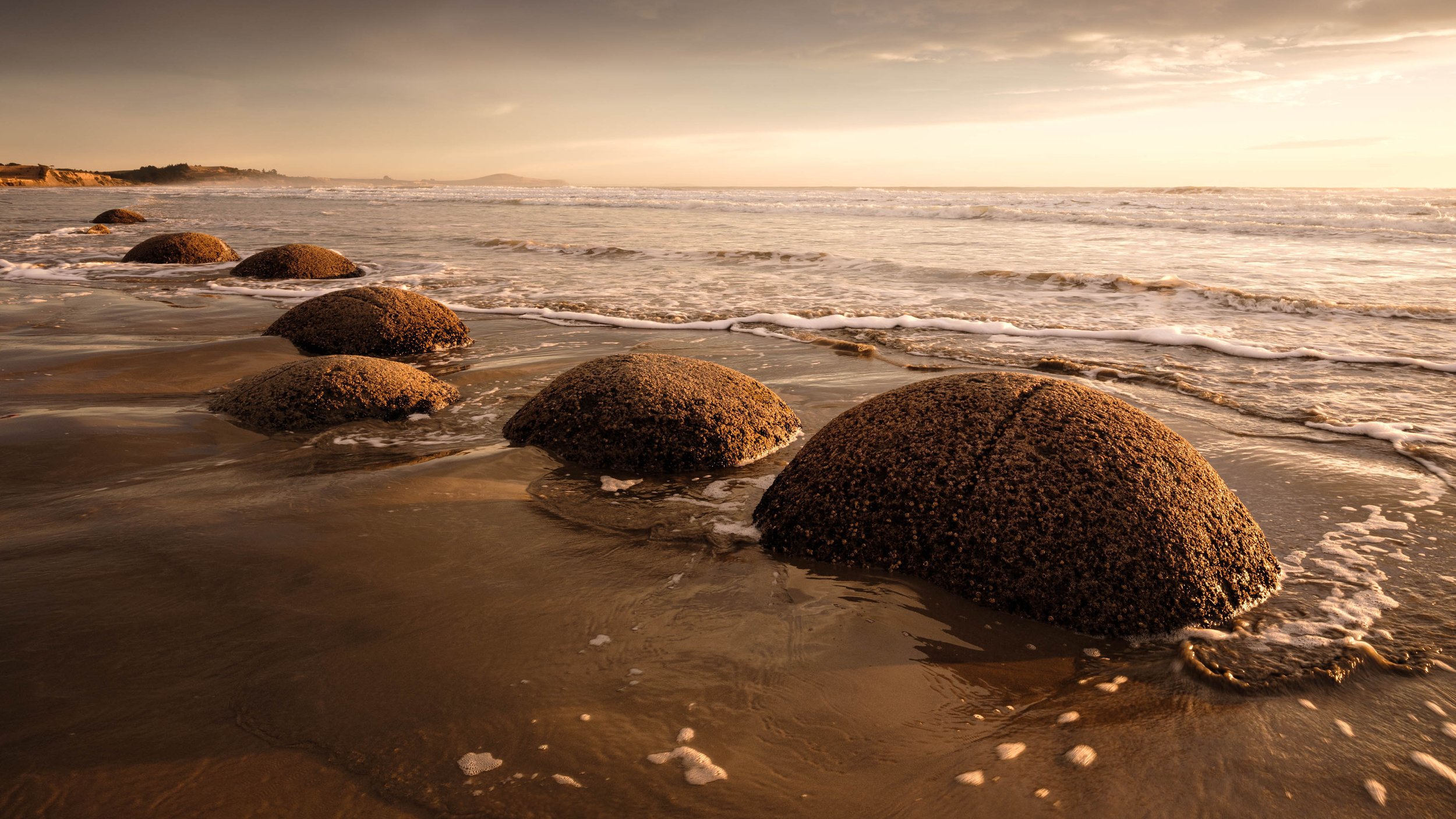
Moeraki Boulders, Moeraki, North Otago, New Zealand.
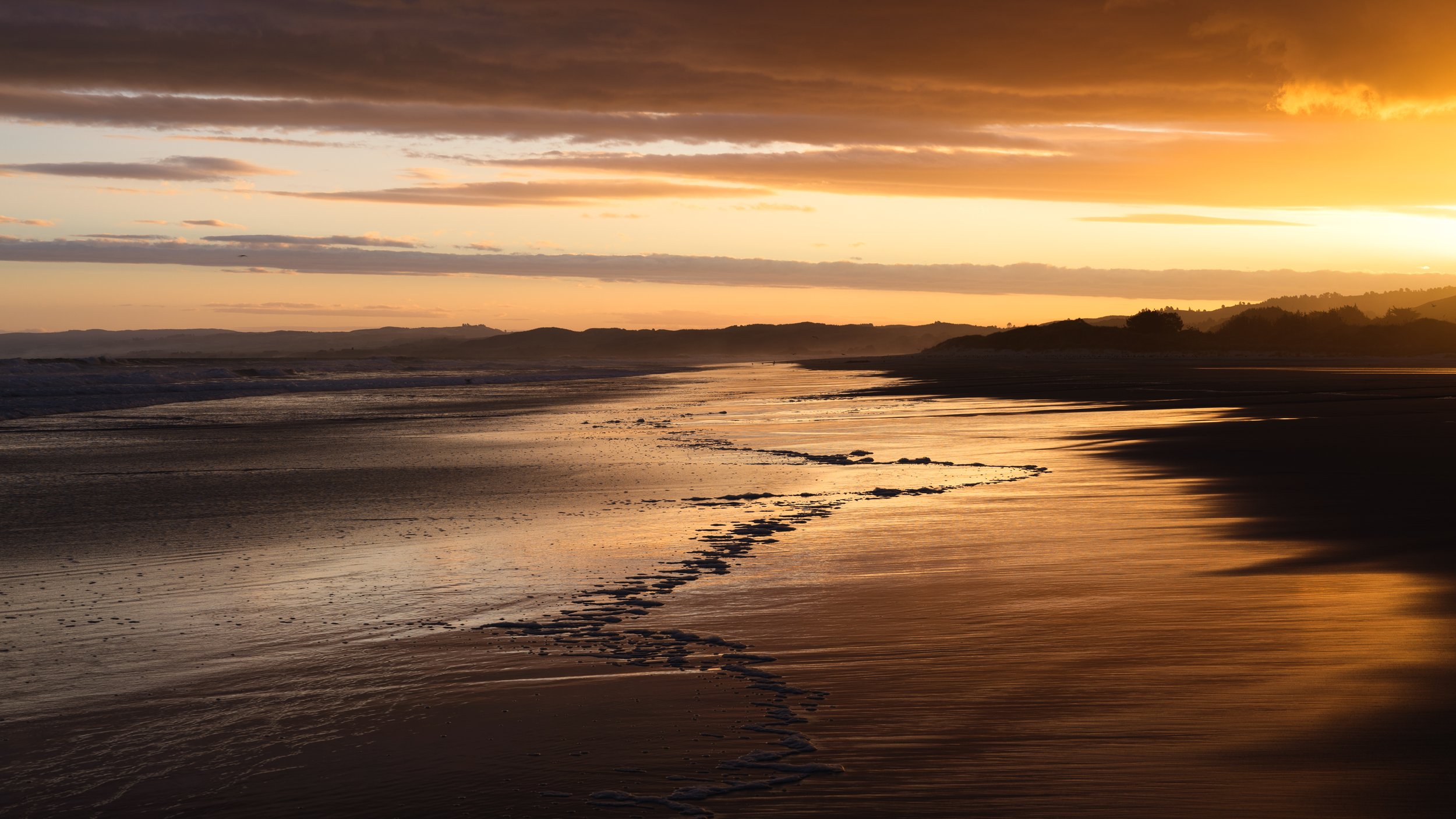
Waldronville Beach, Dunedin, New Zealand.
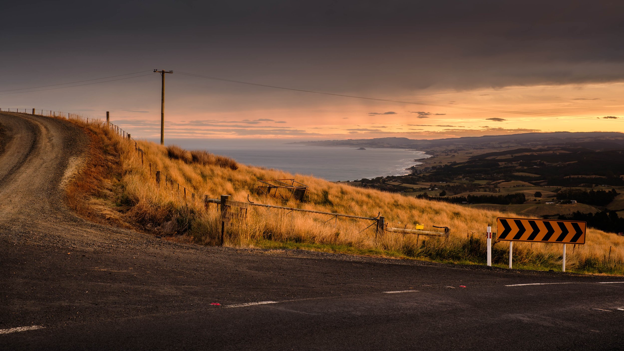
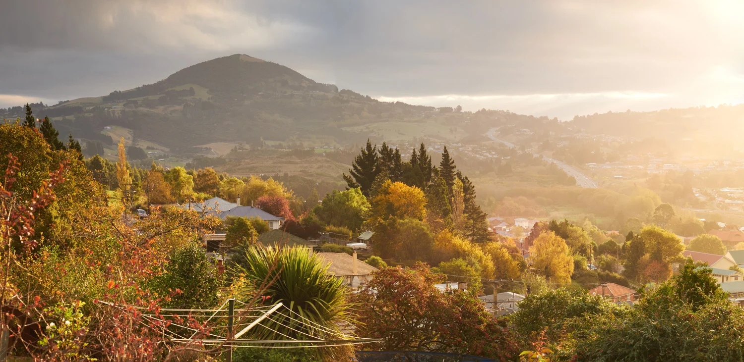
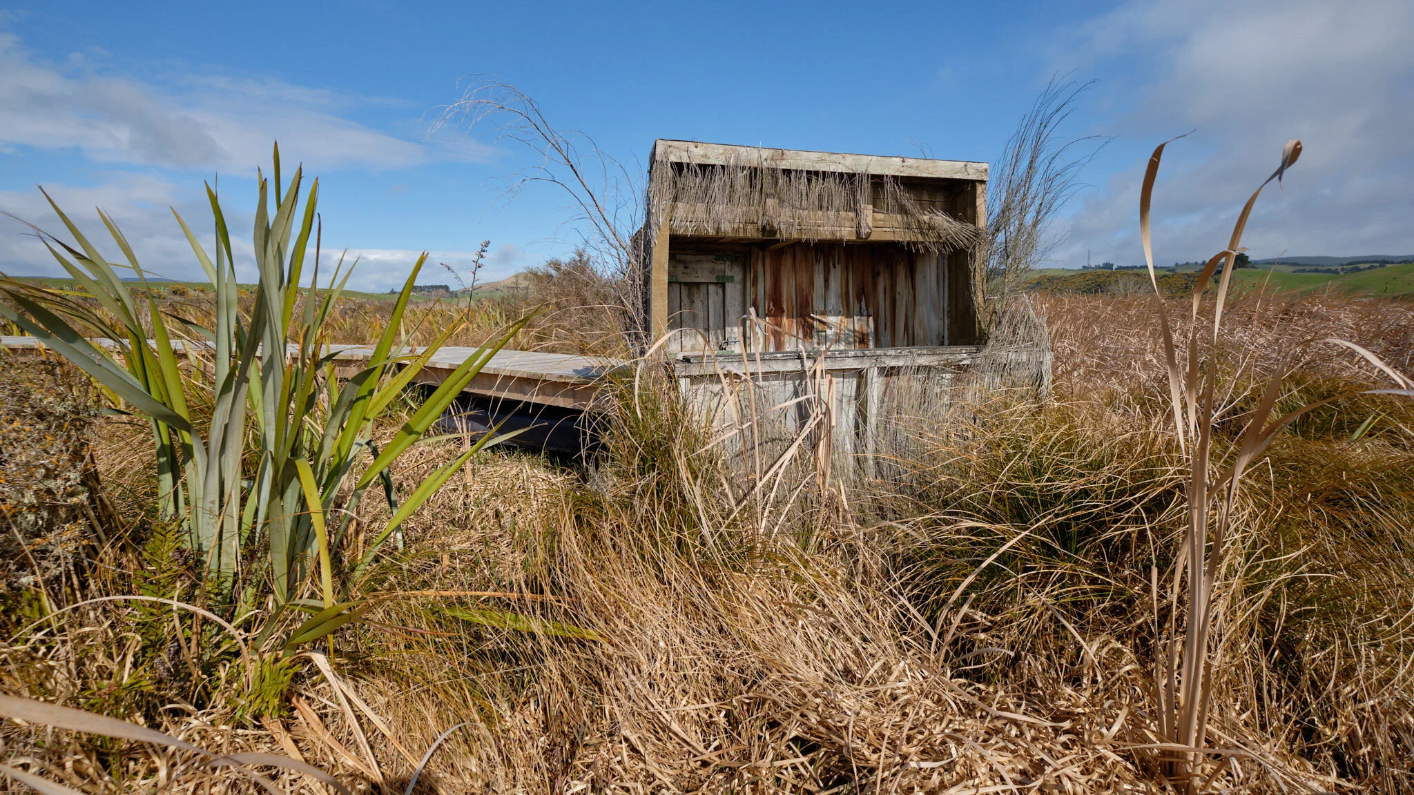
Saddle Hill Rd, Dunedin.
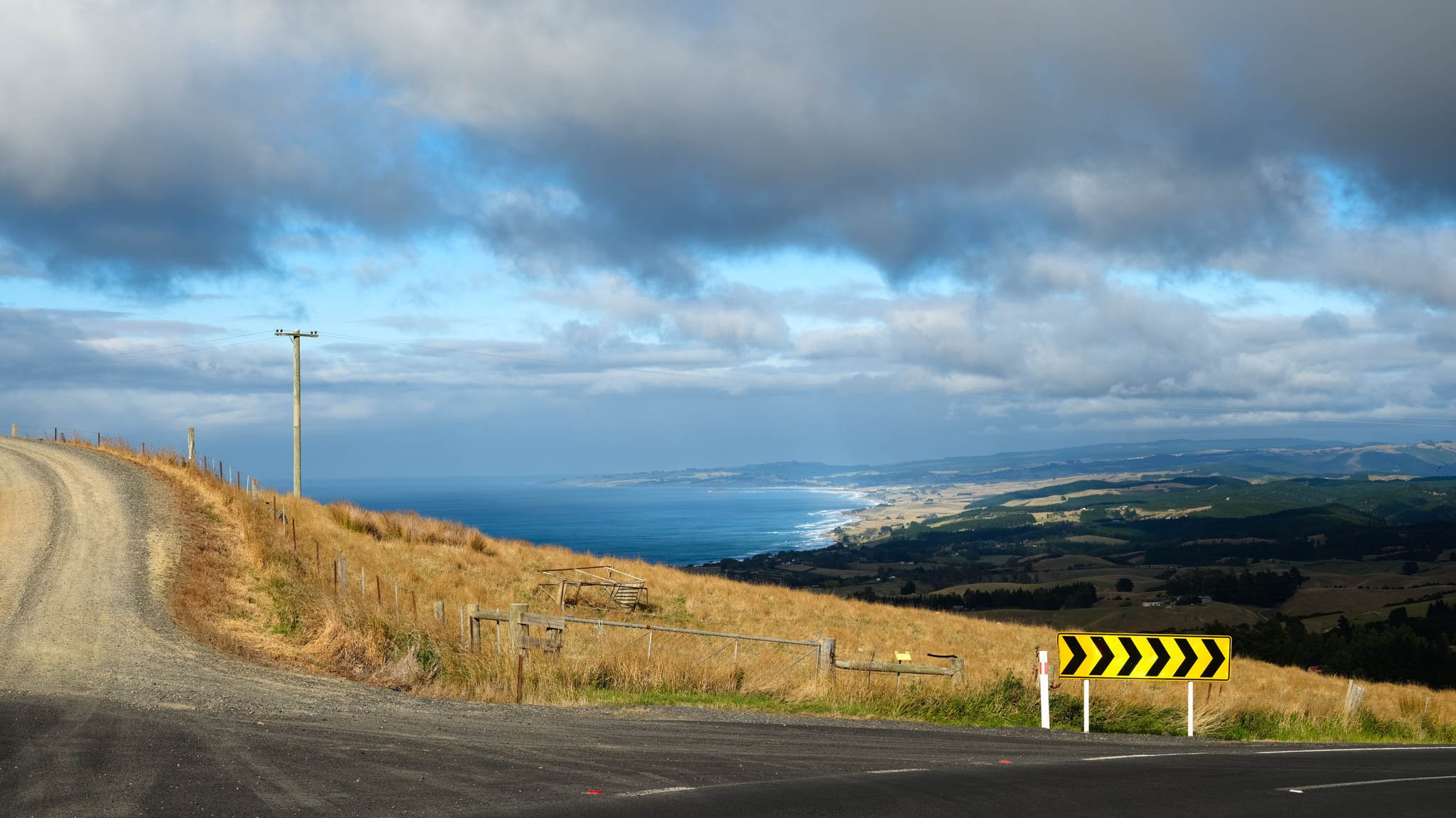
Saddle Hill Rd, Dunedin.
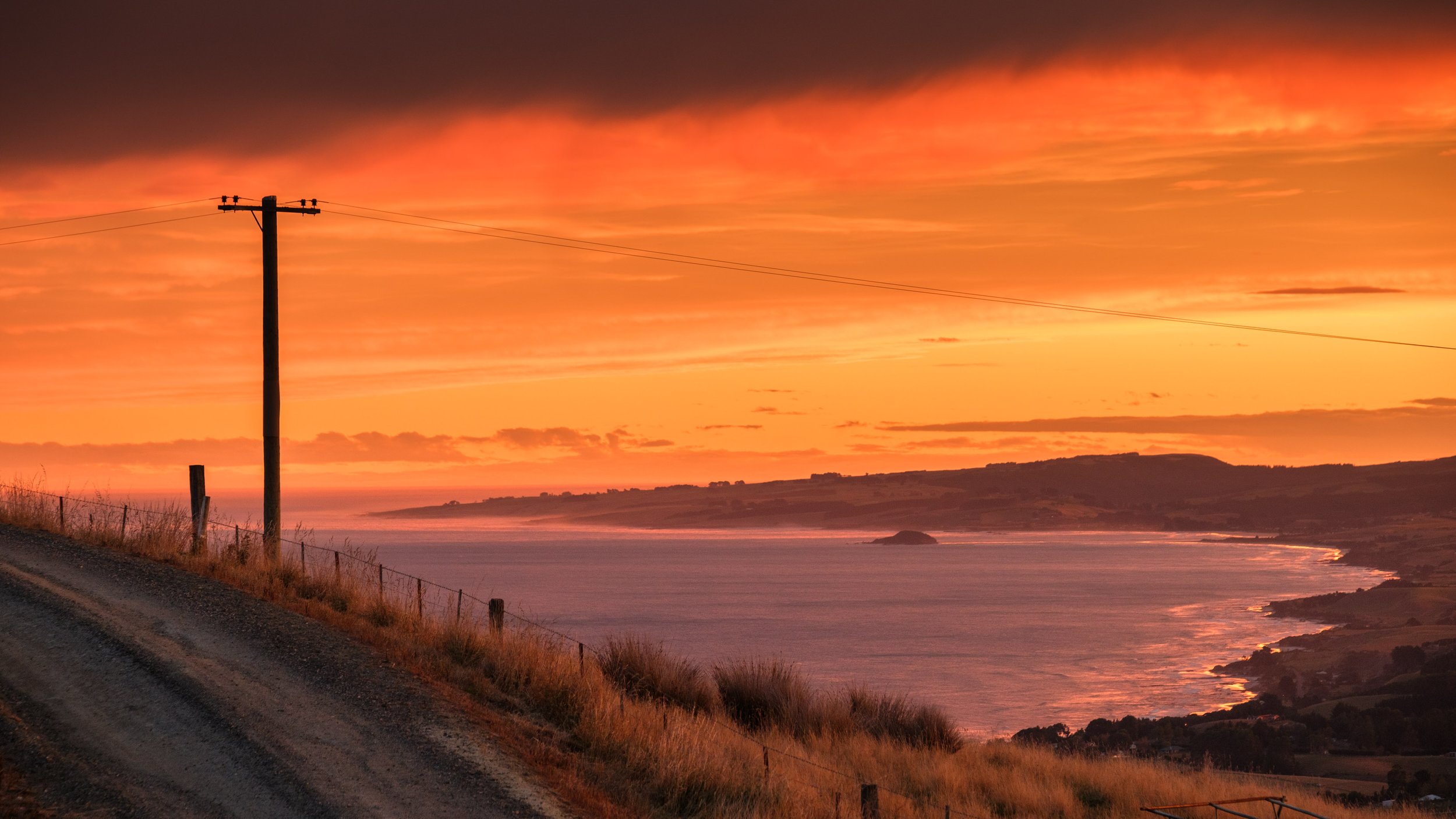
Saddle Hill Rd. Dunedin.
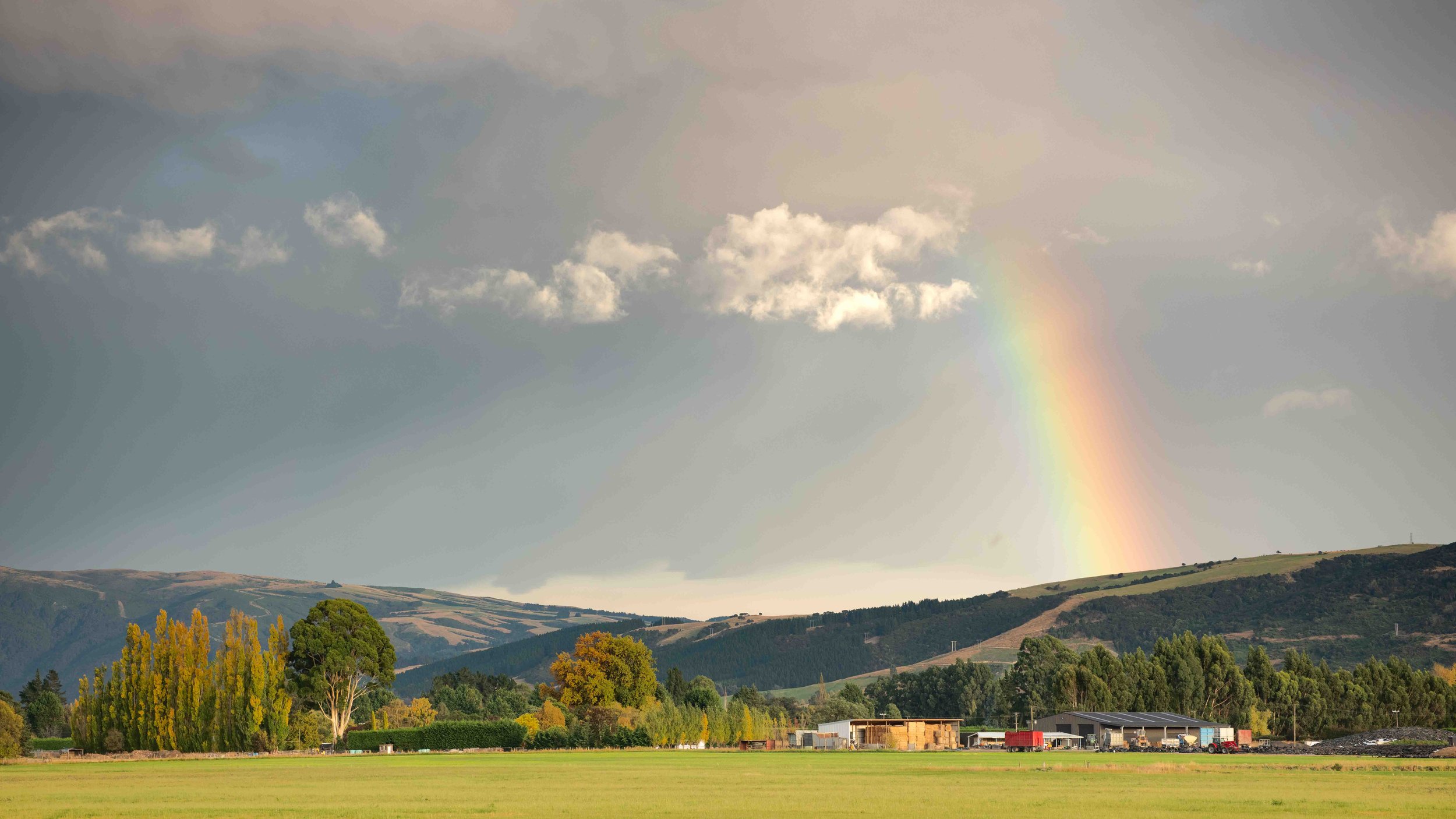
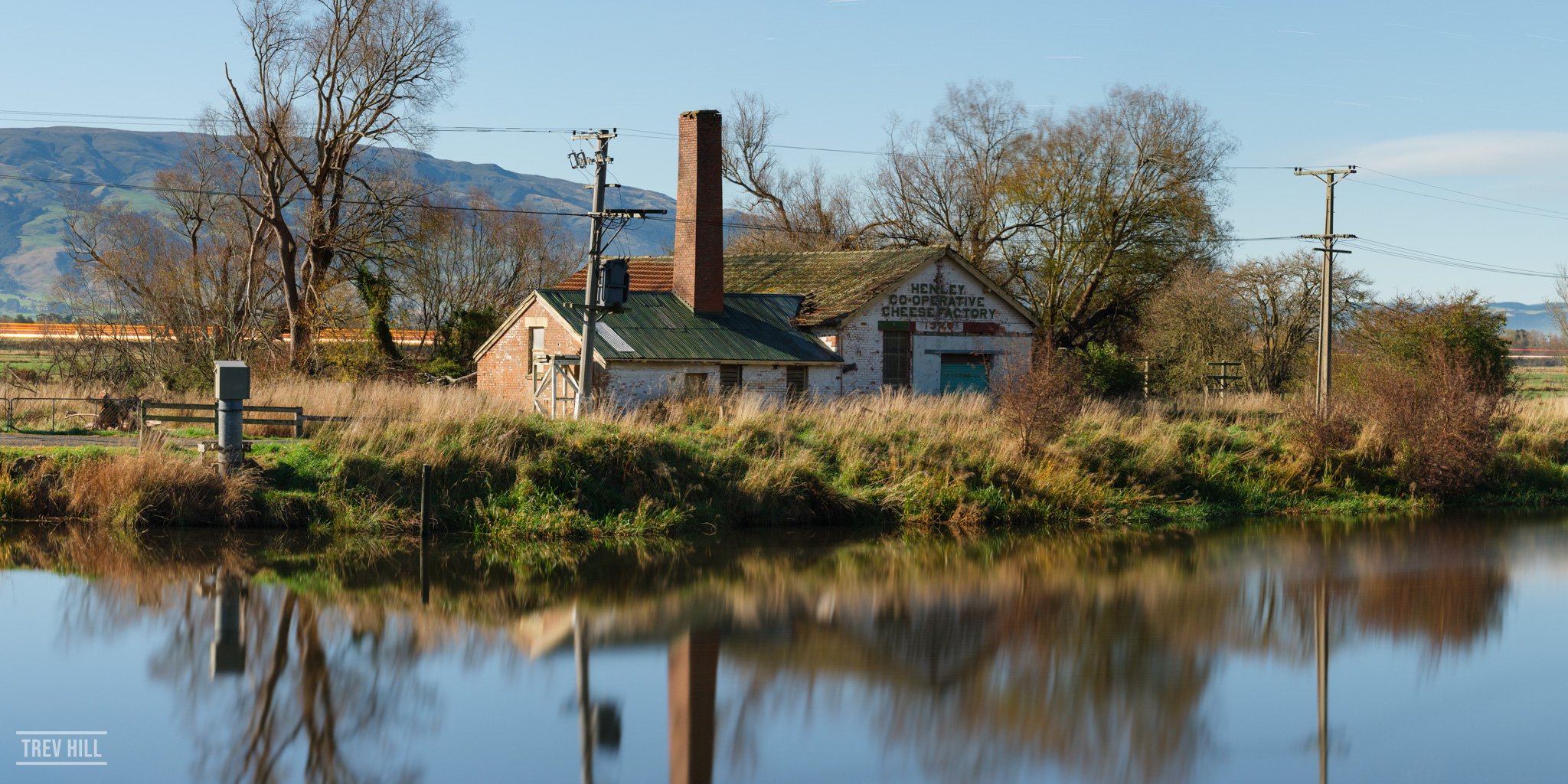
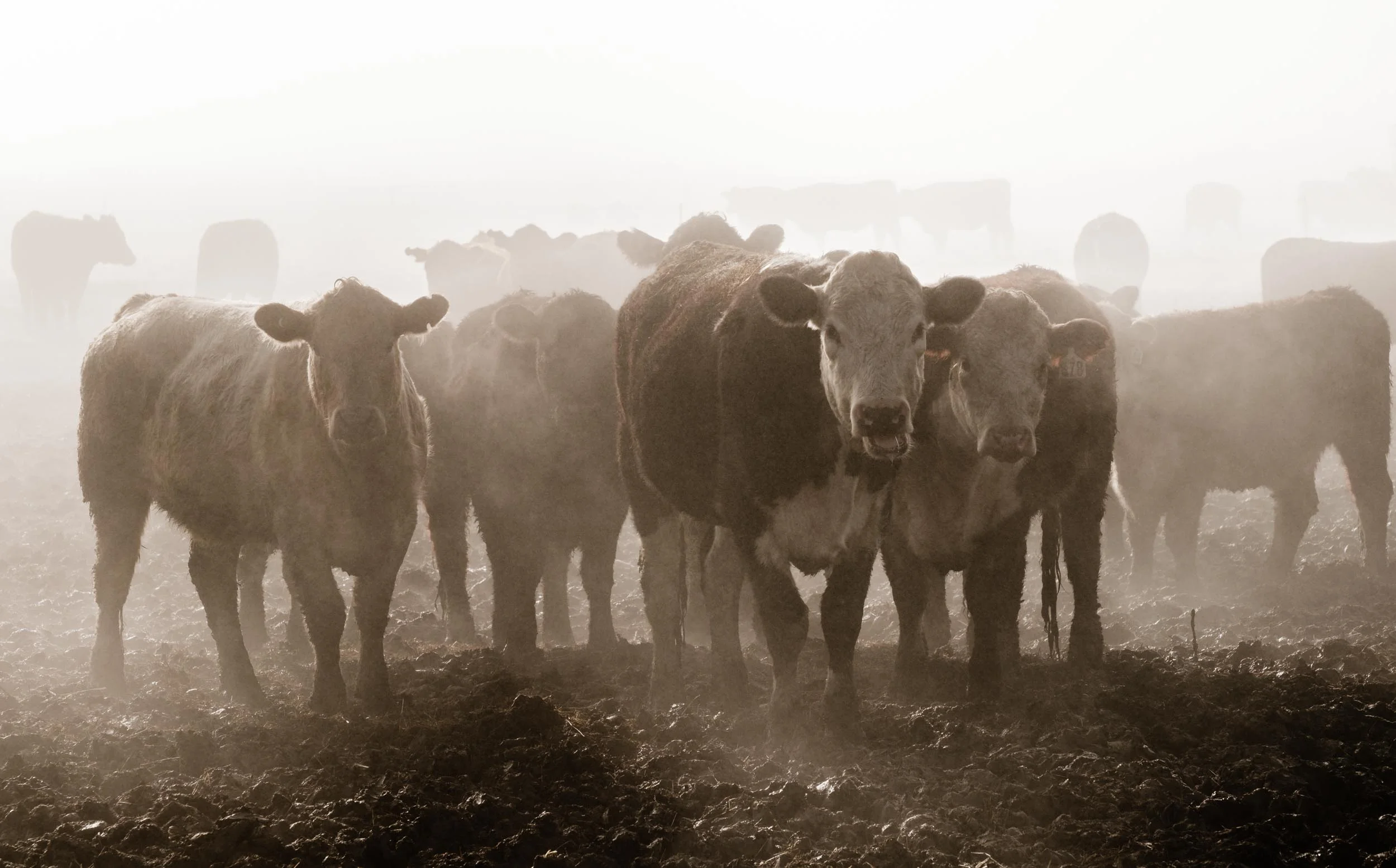
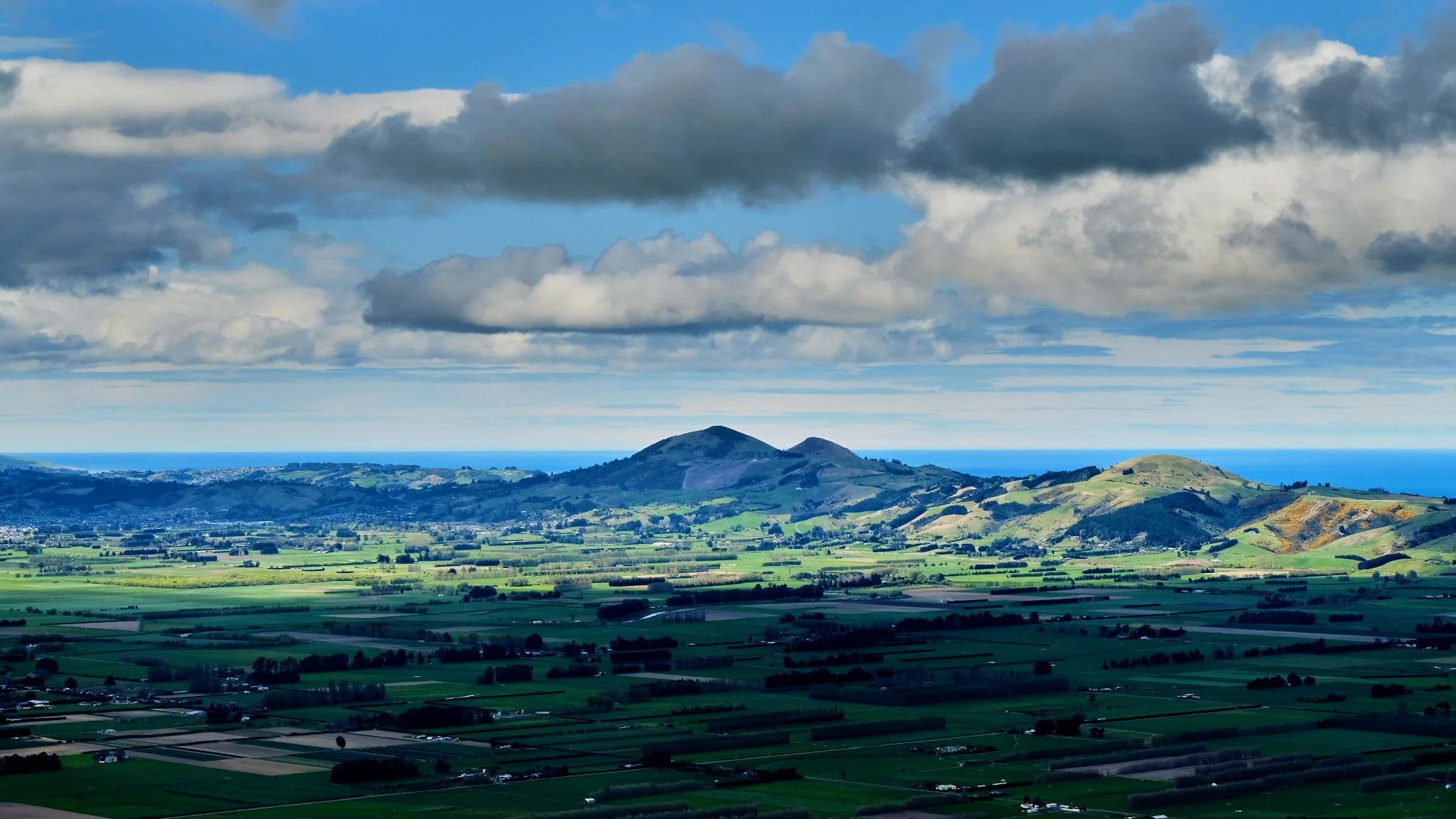
Taieri Plains, Mosgiel.
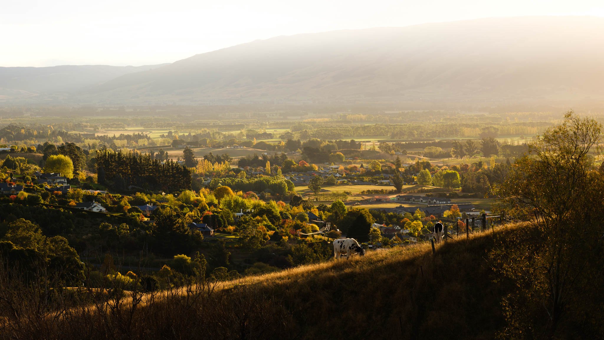
Taieri Plains and Mosgiel